Industry use case

Municipal & Public Works

Organized visual records for public works teams, maintenance planning, storm response, and budget communication.

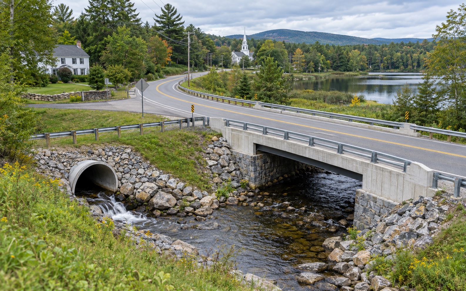
New England road, bridge, culvert, drainage, and public-works documentation
Infrastructure recordsCapture connected road, culvert, bridge, drainage, and asset context in records that teams can review and compare.
  • Clear written scope
  • Organized final files
  • Human-reviewed record
Request an Infrastructure Scope
Proven field experience

Experience behind the deliverable.

NEDD has worked with national clients and government organizations at the state and local levels, capturing organized aerial and field data for property, concrete, and infrastructure decisions. That includes data capture supporting SlabWorx concrete assessments and AssetGuard infrastructure monitoring.

Bring the same disciplined capture-to-record workflow to your property, facility, concrete, or infrastructure decision.

Request a Qualified Scope
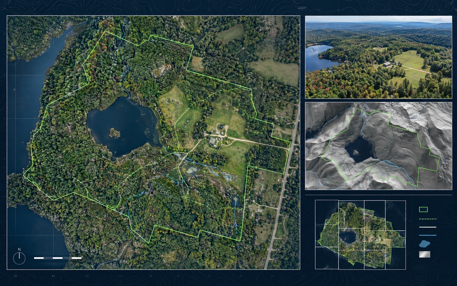
Representative orthomosaic and mapping package for infrastructure planning and comparison
Municipal & Public Works: organized evidence, report files, and decision-support records.
Evidence-to-decision workflow

Turn field capture into a decision-ready record.

New England projects often need records that account for weather, access, repair planning, contractor coordination, budget timing, and future comparison needs. NEDD delivers more than raw media. Each project is organized so owners, managers, contractors, carriers, and project teams can see what was captured, understand the limits, and choose the most practical next step.

What NEDD documents

Site access, terrain, drainage paths, land features, structure locations, and map-style visual records.

What the client receives

Downloadable files, annotated visuals, evidence folders, report notes, and context that stays tied to the captured record.

How it supports decisions

The record supports planning, maintenance, sale support, land management, access decisions, and future comparison.

Professional boundary

NEDD provides documentation and decision-support records. Licensed engineering, legal, surveying, code, safety, or insurance determinations require the appropriate professional or authority.

Quick answer: Municipal drone documentation for culverts, drainage, roofs, roads, washouts, facilities, and public works assets.

Recommended deliverables

What to submit

  • Project location and access notes.
  • Asset or issue needing documentation.
  • Decision the report needs to support.
  • Deadline and desired deliverable.