Industry use case

Manage the property with current visual evidence—not scattered vendor updates.

Use portfolio-ready aerial and ground records for maintenance, budgeting, vendor coordination, remote review, and recurring comparison.

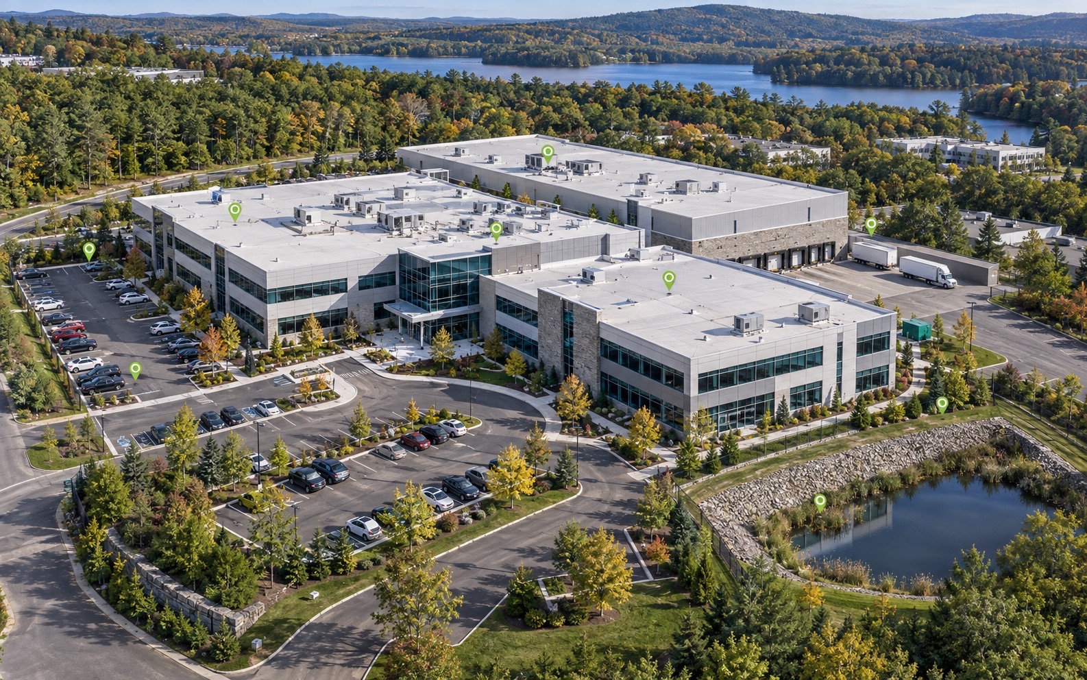
Premium aerial commercial property documentation showing roofs, HVAC, parking, access, and drainage context
Commercial property intelligenceGive owners, managers, lenders, and contractors a current visual record for maintenance, budgeting, and coordination.
  • Clear written scope
  • Organized final files
  • Human-reviewed record
Request a Property Scope
One-property manager pilot

Get a common visual record before the next vendor decision.

A fixed-price pilot can document agreed, accessible areas and give your team one dated reference for maintenance, repair quotes, or before-and-after review.

Agree on one decision

Name the property, priority asset, vendor question, access plan, and who reviews the outcome.

Deliverable outline

Scope dated and indexed images, location labels, observed versus unknown notes, and an owner-ready review summary.

Right-size the tools

Add permitted drone views, thermal screening, Matterport, or recurring comparisons only when capability and costs are confirmed.

Availability, included methods, file quantities, hosting, capture date, and delivery window are confirmed in the written scope after property details, permissions, access, weather, operator or platform capacity, and loaded costs are reviewed. A fixed quote is issued only when it supports the required margin and deposit coverage. Documentation does not replace licensed inspection, engineering, surveying, code, legal, or insurance decisions.

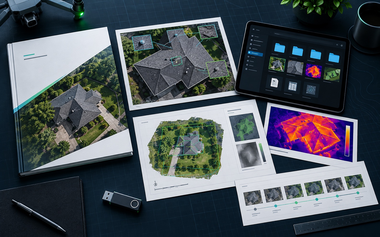
Representative commercial property intelligence and organized deliverable package
Commercial Property Managers: organized evidence, report files, and decision-support records.
Evidence-to-decision workflow

Turn field capture into a decision-ready record.

New England projects often need records that account for weather, access, repair planning, contractor coordination, budget timing, and future comparison needs. NEDD does not deliver a disorganized photo set. The work is structured so owners, managers, contractors, carriers, and project teams can understand what was captured, what remains unknown, and what next step is most practical.

What NEDD documents

Site access, terrain, drainage paths, land features, structure locations, and map-style visual records.

What the client receives

Downloadable files, annotated visuals, evidence folders, report notes, and context that stays tied to the captured record.

How it supports decisions

The record supports planning, maintenance, sale support, land management, access decisions, and future comparison.

Professional boundary

NEDD provides documentation and decision-support records. Licensed engineering, legal, surveying, code, safety, or insurance determinations require the appropriate professional or authority.

Quick answer: Drone data reports for commercial properties, roofs, exterior assets, drainage, parking, and recurring monitoring.

Recommended deliverables

What to submit

  • Project location and access notes.
  • Asset or issue needing documentation.
  • Decision the report needs to support.
  • Deadline and desired deliverable.