Planning and communication
Site overview imagery, annotated access and staging views, map-style visual layouts and a PDF summary, as agreed in the scope.

Combine mapping-support imagery, orthomosaic-style records, access views, terrain context, and organized project files for planning and future comparison.
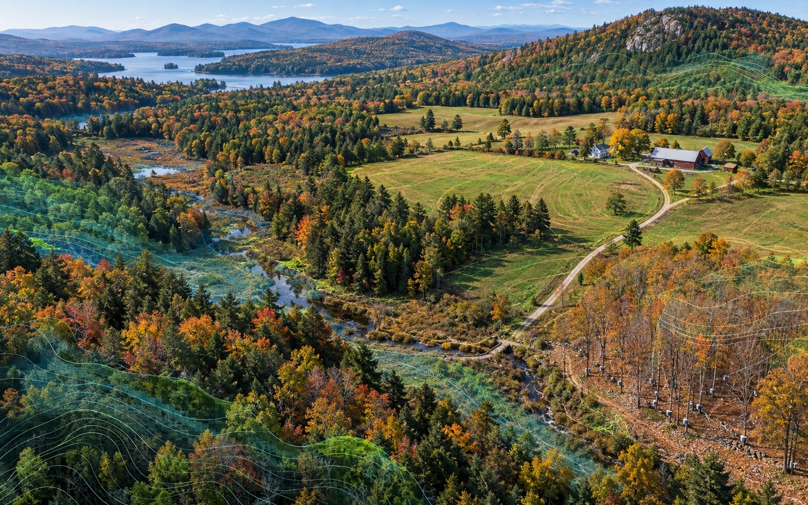
Start with the decision: plan site access, document a construction milestone, explain drainage context, or compare visible conditions over time. NEDD scopes the capture, organizes the record and explains its limits so your team knows what it can use.
Site overview imagery, annotated access and staging views, map-style visual layouts and a PDF summary, as agreed in the scope.
Agree on the areas and viewpoints to document before capture so later records can be compared with a clear date and site context.
Tell us the receiving software, requested file format, coordinate system and intended use. NEDD confirms feasibility and the final files in the written quote.
These are requested formats for scope review; they are not standard or guaranteed deliverables. Availability must be confirmed for the project before booking. A visual report or rendered image does not establish that a usable point cloud, georeferenced raster, mesh or CAD file can be delivered.
Specify the receiving application, classification needs and coordinate reference system. Capture method, coverage and a compatible sample must be agreed before this output is included.
Specify the viewer, model size and texture needs. A presentation render is different from a navigable, portable 3D model; model delivery requires confirmation.
Specify whether you need imagery or elevation data, the coordinate system and how it will be used. Georeferencing and any accuracy requirements need a project-specific scope.
Specify DXF or DWG, units, layers and the receiving CAD application. Map-style visuals are not CAD drawings. Drawing production and any licensed review must be confirmed separately.
NEDD documentation supports planning and communication. Boundary determination, certified surveys, engineering design and safety-critical decisions require the appropriate licensed professional. Accuracy and turnaround are agreed for the actual site and method; no survey-grade accuracy is implied.
Clients usually do not need another folder of unexplained images. They need a record that helps them plan, prove, explain, price, repair, insure, monitor, or compare a site condition. This service turns capture into organized information with clear limits and a defined next step.
This deliverable documents visible and available evidence for planning, communication, and decision-support purposes. It does not replace licensed engineering, surveying, legal, code, insurance, or safety-critical review where required.

Submit the asset, address, issue, deadline, and desired deliverable. After submission, the thank-you page reveals the direct project line for optional follow-up.
Start ScopeFind mapping services and project context for your state.
Aerial Mapping & Site Records for Vermont properties, municipalities, construction sites, land, and commercial assets.
View details →Aerial Mapping & Site Records for New Hampshire properties, municipalities, construction sites, land, and commercial assets.
View details →Most projects combine capture with reports, evidence folders, maps, renders, or recurring monitoring.
High-resolution visual capture organized into findings, reports, evidence folders, and next-step documentation for roofs, properties, infrastructure, land, and construction assets.
View details →The core NEDD deliverable: visual evidence, observations, organized data, report-ready imagery, and decision-support language in one professional package.
View details →Presentation-ready renders, model-based visualizations, map overlays, and digital site records produced from project-specific capture where appropriate.
View details →Roof and exterior documentation for storm evidence, commercial roof records, access limitations, drainage observations, rooftop units, and visible condition review.
View details →Commercial property site documentation for roofs, exterior conditions, parking, drainage, access, maintenance planning, and recurring records.
View details →Progress reports, site records, pre-cover documentation, logistics views, staging records, and dispute-prevention documentation for contractors and owners.
View details →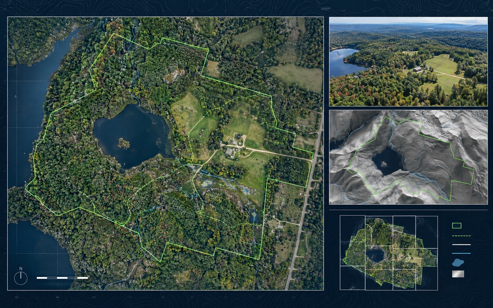
New England projects often need records that account for weather, access, repair planning, contractor coordination, budget timing, and future comparison needs. NEDD delivers more than raw media. Each project is organized so owners, managers, contractors, carriers, and project teams can see what was captured, understand the limits, and choose the most practical next step.
Site access, terrain, drainage paths, land features, structure locations, and map-style visual records.
Downloadable files, annotated visuals, evidence folders, report notes, and context that stays tied to the captured record.
The record supports planning, maintenance, sale support, land management, access decisions, and future comparison.
NEDD provides documentation and decision-support records. Licensed engineering, legal, surveying, code, safety, or insurance determinations require the appropriate professional or authority.
Written for property owners, contractors, managers, and decision-makers who need clear documentation before the next step.
This service is typically used by builders, landowners, public works teams, property managers, and commercial owners. It is useful when a site condition needs to be documented, explained, compared, or shared.
The deliverable depends on scope, but can include organized images, PDF reports, annotated visuals, maps, 3D renders, evidence folders, estimate-support notes, and comparison-ready records.
Turnaround depends on weather, travel zone, site complexity, access, airspace requirements, and report depth. Rush handling can be scoped when available.
No. NEDD reports are decision-support and inspection-support documents unless otherwise stated. Licensed professional review is required for engineering, surveying, legal, insurance, code, or safety-critical determinations.
NEDD helps organize visible evidence into files your team can use for repair planning, replacement decisions, claim communication, contractor coordination, budgeting, and future comparison.
Visible roof and exterior documentation before repair, replacement, or claim communication.
Storm / Fire / Loss RecordsOrganized post-event evidence before cleanup, contractor coordination, or claim discussions.
Repair or Replace SupportEvidence folders and estimate-support notes before major spend decisions.
Damage Over TimeBaseline records and follow-up captures for comparison over seasons, events, and repairs.
Construction ProgressMilestone, access, staging, and progress records for project communication.
Reports & DeliverablesReport packets, annotated imagery, map-style records, and evidence folders.
Review the dedicated Vermont path for aerial mapping, orthomosaic-style records, 3D site documentation, repeatable comparison, accuracy notes, and the clear boundary between mapping support and licensed land surveying.