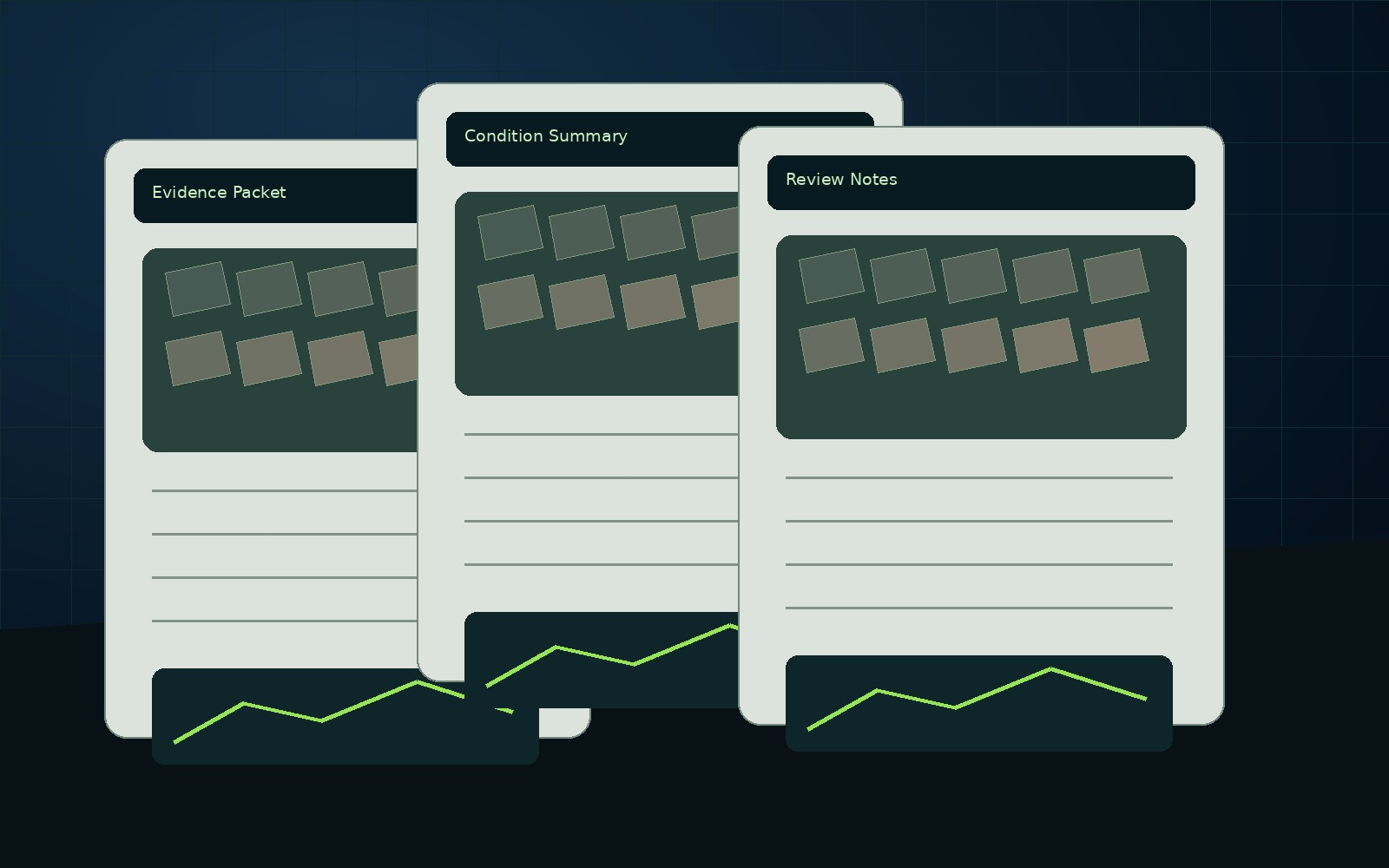
Report packets
Evidence folders, visual records, condition notes, and supporting references compiled into a usable package.
NEDD captures the site. AssetGuard Systems helps organize the evidence into baseline records, recurring comparisons, condition history, report structure, and monitoring workflows.


New England projects often need records that account for weather, access, repair planning, contractor coordination, budget timing, and future comparison needs. NEDD does not deliver a unorganized photo set. The work is structured so owners, managers, contractors, carriers, and project teams can understand what was captured, what remains unknown, and what next step is most practical.
Site access, terrain, drainage paths, land features, structure locations, and map-style visual records.
Downloadable files, annotated visuals, evidence folders, report notes, and context that stays tied to the captured record.
The record supports planning, maintenance, sale support, land management, access decisions, and future comparison.
NEDD provides documentation and decision-support records. Licensed engineering, legal, surveying, code, safety, or insurance determinations require the appropriate professional or authority.
Property, land, construction, municipal, roof, exterior, and concrete/pavement records.
View details →Repeatable visual capture and AssetGuard-ready records.
View details →Baseline records and comparison history.
View details →Where NEDD documentation intersects with SlabWorx concrete knowledge.
View details →NEDD helps organize visible evidence into files your team can use for repair planning, replacement decisions, claim communication, contractor coordination, budgeting, and future comparison.
Visible roof and exterior documentation before repair, replacement, or claim communication.
Storm / Fire / Loss RecordsOrganized post-event evidence before cleanup, contractor coordination, or claim discussions.
Repair or Replace SupportEvidence folders and estimate-support notes before major spend decisions.
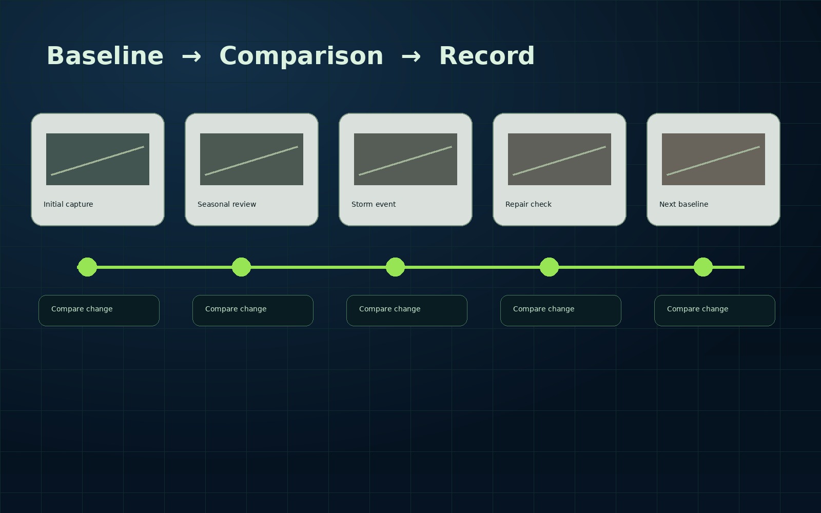
Damage Over TimeBaseline records and follow-up captures for comparison over seasons, events, and repairs.
Construction ProgressMilestone, access, staging, and progress records for project communication.
Reports & DeliverablesReport packets, annotated imagery, map-style records, and evidence folders.
NEDD deliverables are organized to help teams review conditions, coordinate contractors, communicate clearly, and compare records over time.
Evidence folders, visual records, condition notes, and supporting references compiled into a usable package.
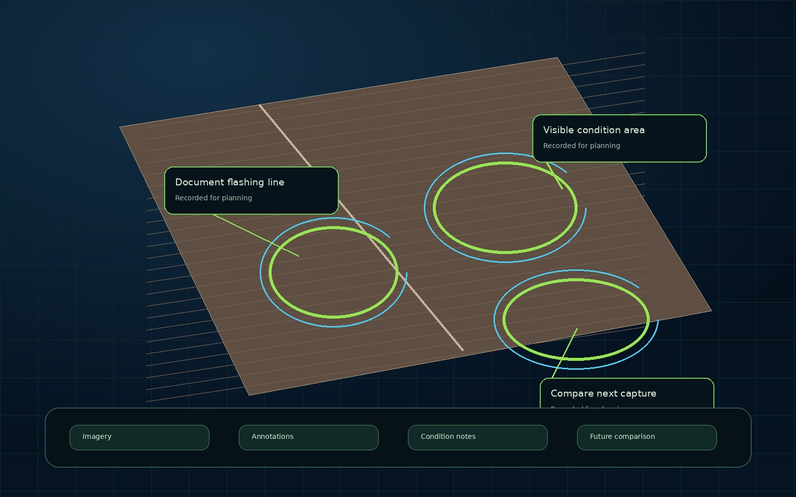
Images can be marked and organized so the visible condition is easier to review and discuss.
The first capture can become a baseline. Future captures help show what changed.
The process is built to reduce scattered photos, unclear records, and undocumented assumptions.
Collect aerial and ground visual evidence.
Sort files by condition, date, and purpose.
Separate visible evidence from assumptions.
Add planning context where applicable.
Provide files and report-ready records.
Support repair, replace, claim, budget, or coordination.
Use baseline records to track change.
Request a documentation scope for roof, storm, construction, land, municipal, commercial, or property records.
NEDD deliverables support planning and communication. Licensed review may still be required for engineering, legal, insurance, surveying, code, or safety-critical decisions.