
Matterport 3D virtual tours for listings, properties, and project records.
Create a polished, immersive walkthrough buyers and stakeholders can explore from anywhere—then pair it with drone, photography, video, thermal, or report-ready documentation.
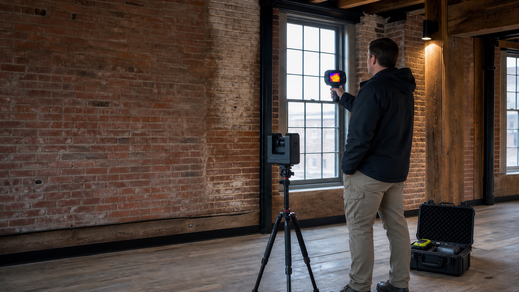
Let prospects and project teams walk the space from anywhere.
A Matterport 3D virtual tour creates an intuitive, room-by-room experience that helps buyers, tenants, owners, contractors, and stakeholders understand layout and condition before an in-person visit.
- Residential and commercial listing tours
- Rental, hospitality, and leasing walkthroughs
- Construction, renovation, and restoration records
- Facility, insurance, and property-management documentation
- Optional aerial, still-photo, video, and report add-ons
A shareable digital property experience
Scope options can include a hosted 3D walkthrough, dollhouse and floor-by-floor views, highlight stills, room labels, guided tour points, and floor-plan outputs where supported by the selected Matterport package.
Pair it with drone: combine the interior walkthrough with aerial photography, property-context video, roof/exterior documentation, or mapping-support visuals.
One capture can support marketing and long-term records.
The right package is defined by how the tour will be used, how long it must remain available, and whether measurements or plan outputs are requested.
Sell or lease with confidence
Give qualified prospects a 24/7 walkthrough and a clearer understanding of flow, finishes, and key features.
View service →Document construction
Preserve milestone conditions, room relationships, and visible work before spaces are closed or changed.
View service →Manage properties remotely
Support owner updates, maintenance planning, vendor orientation, and portfolio documentation.
View service →Record pre-loss or post-loss conditions
Create an organized spatial record for restoration planning and communication, subject to safe access.
View service →What to send for an accurate scope.
- Property address, approximate square footage, and number of levels
- Occupied or vacant status and access contact
- Marketing, documentation, construction, or restoration purpose
- Desired hosting period, floor-plan needs, and delivery deadline
- Any requested aerial photography, video, thermal, or reporting add-ons
Matterport is a trademark of Matterport, Inc. References describe the requested capture and hosting platform and do not imply endorsement. Virtual tours, schematic floor plans, and extracted measurements are documentation and marketing tools; they are not survey-grade or architectural record drawings unless separately verified by the appropriate licensed professional.