LiDAR & Spatial Documentation
Capture measurable spatial records for buildings, sites, coordination, and future comparison.
Evidence built for the next decision.
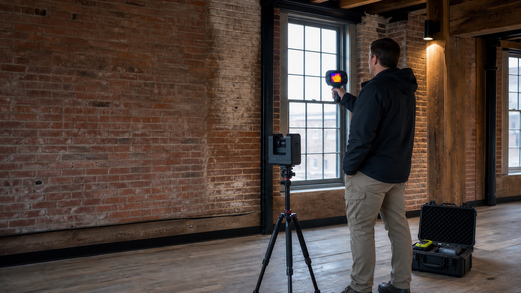
Capture measurable spatial records for buildings, sites, coordination, and future comparison. NEDD defines the scan area, access, environmental constraints, equipment, and requested outputs before fieldwork. Deliverables identify observations, limitations, and areas that require specialist review.
- Pre-field scope and access review
- Repeatable capture and annotated field records
- Clear distinction between observed, inferred, and unknown conditions
- Organized files for owners, designers, contractors, and licensed professionals
From capture to usable record
Annotated imagery, marked scan areas, data views, location context, limitations, and practical next-step notes.
Professional boundary: NEDD does not replace engineering, utility locating, surveying, destructive testing, or code review where those are required.
Build the right diagnostic scope.
Void & Sub-Slab Investigation
Investigate anomalous zones beneath slabs and organize findings for repair planning.
View service →Pre-Core Scanning
Scan proposed core locations and mark detected reinforcement or embedded targets.
View service →Pre-Drill Scanning
Focused scan-and-mark support before anchors, penetrations, or exploratory drilling.
View service →