Turn site capture into a navigable digital property record.
Combine Matterport, LiDAR, drone imagery, maps, photos, and issue references so remote teams can understand the property and revisit the record later.
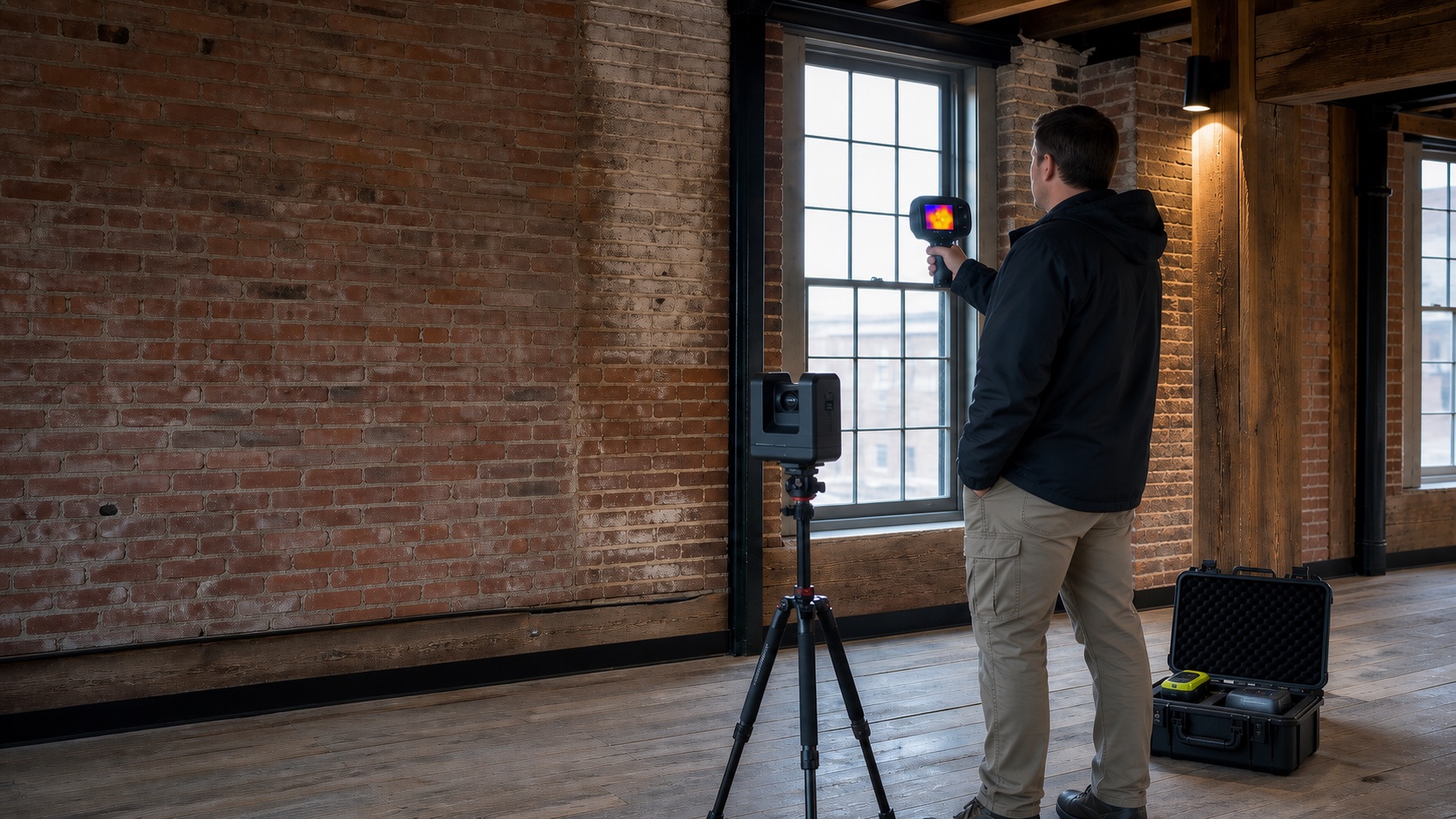
Preserve layout, context, and visible conditions together.
A digital twin is most valuable when it is tied to a defined date, purpose, file set, and decision. NEDD organizes the model with supporting imagery, notes, and professional boundaries so it remains useful after the first walkthrough.
What can be included
- Matterport or compatible navigable property record
- LiDAR or spatial model outputs where scoped
- Drone exterior and site-context imagery
- Room, asset, issue, or milestone reference points
- Baseline package for future comparison and remote review
Property managers, contractors, estates, facilities, and owners.
Useful for renovation planning, vendor coordination, property handoff, remote ownership, restoration, and recurring records.
Popular combination: Matterport + LiDAR/spatial capture + drone overview + annotated condition folder.
Combine field capture, remote review, and organized delivery.
NEDD scopes each assignment around access, timing, permissions, weather, technology compatibility, the decision being made, and the people who need to review the result.
What to send for an accurate scope.
- Property or project location, approximate size, and access contact
- The specific areas, assets, concerns, or features to document
- Who will attend remotely and what device or review format they prefer
- Required date, urgency, recurring schedule, and desired deliverables
- Any available listing, plan, inspection, claim, contractor, or prior-condition records
Professional boundary: Digital-twin dimensions and model outputs are not survey-grade, architectural, or engineering records unless separately verified and sealed by the appropriate licensed professional.