Quick answer: Documentation packages for buyers, sellers, managers, HOAs, and owners who need a clearer visual record of exterior property conditions. This service is built for residential owners, commercial owners, HOAs, brokers, property managers, and portfolio teams.
What this service is designed to solve
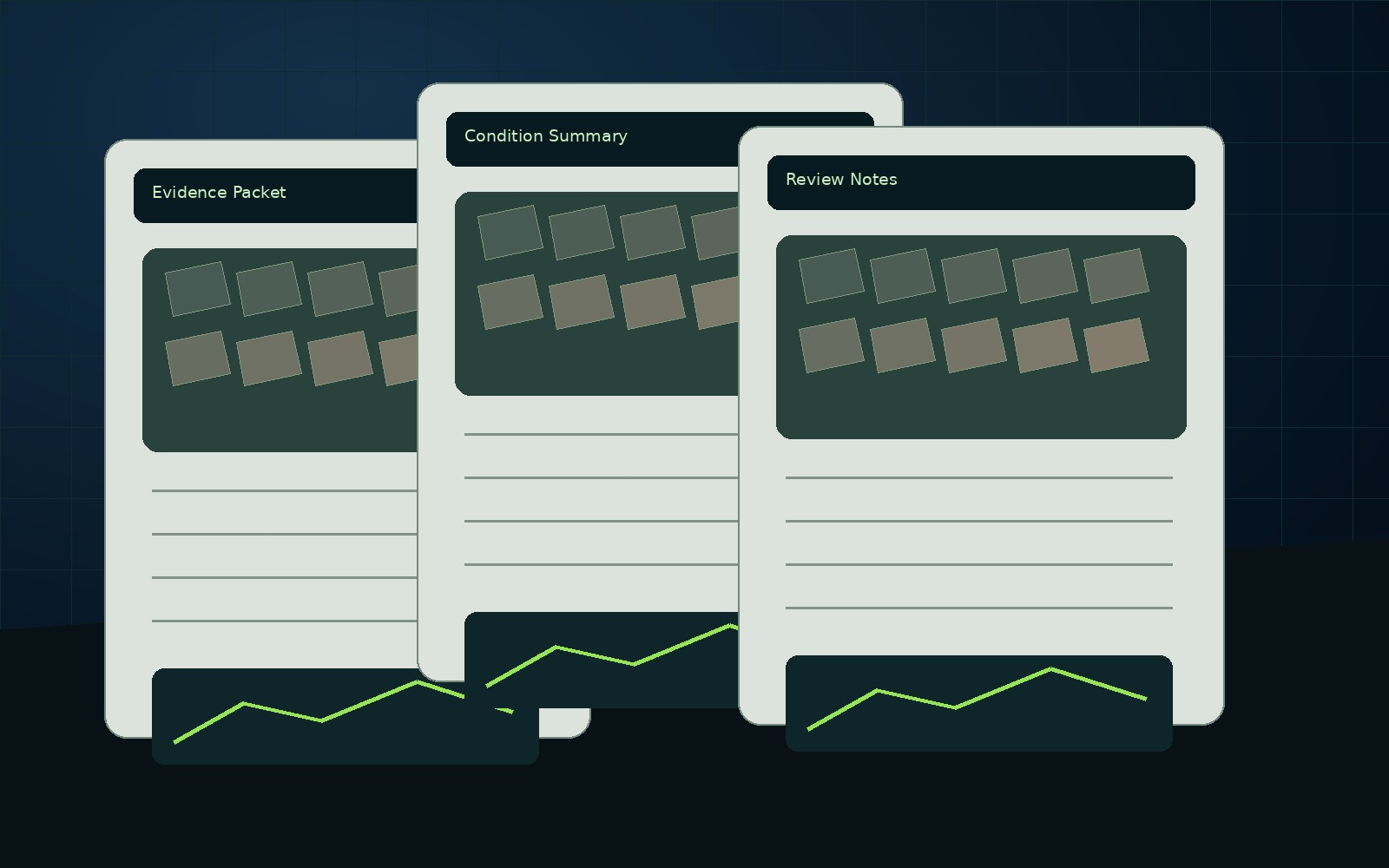
Clients usually do not need another folder of unexplained images. They need a record that helps them plan, prove, explain, price, repair, insure, monitor, or compare a site condition. This service turns capture into organized information with clear limits and a defined next step.
What can be included
- Property overview and condition records
- Roof/exterior/drainage/access images
- Visual evidence folder
- Summary report with recommended next steps
- Recurring monitoring option for managed properties
Professional boundaries
This deliverable documents visible and available evidence for planning, communication, and decision-support purposes. It does not replace licensed engineering, surveying, legal, code, insurance, or safety-critical review where required.
Best-fit packages
- Drone Data Report — standard report-first package.
- Technical Data Report — deeper documentation, maps, renders, and estimate-support detail.
- AssetGuard Intelligence Report — recurring records and monitoring-ready structure.
