
Quick answer: NEDD provides drone data reports in New Hampshire with report-first deliverables, privacy-focused capture, and clear professional boundaries.
Common New Hampshire use cases
- Property, roof, exterior, and storm evidence documentation.
- Construction, municipal, commercial, land, forestry, farm, and infrastructure records.
- Maps, 3D renders, visual evidence folders, estimate-support notes, and AssetGuard monitoring baselines.
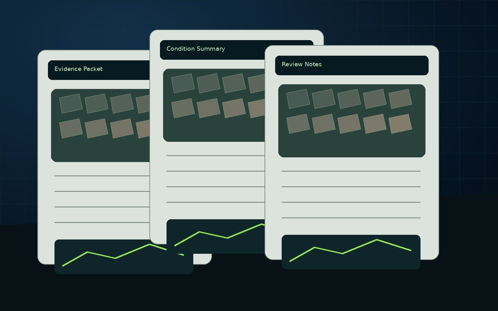
What is included
- PDF report with purpose, scope, evidence summary, observations, limitations, and next step
- Organized photo and file folder
- Annotated visuals and condition notes
- Report-ready images for stakeholder communication
- AssetGuard pathway for monitoring when relevant
Reports are decision-support and inspection-support documents unless otherwise stated. Licensed professional review is required for engineering, surveying, insurance, legal, code, or safety-critical decisions.