Washington County local page

Drone surveying and aerial mapping support in Montpelier, Vermont.

Define the decision first, then scope aerial capture, mapping outputs, report files, repeatability, and professional limitations for land, construction, municipal, estate, or infrastructure work in Montpelier, Vermont.

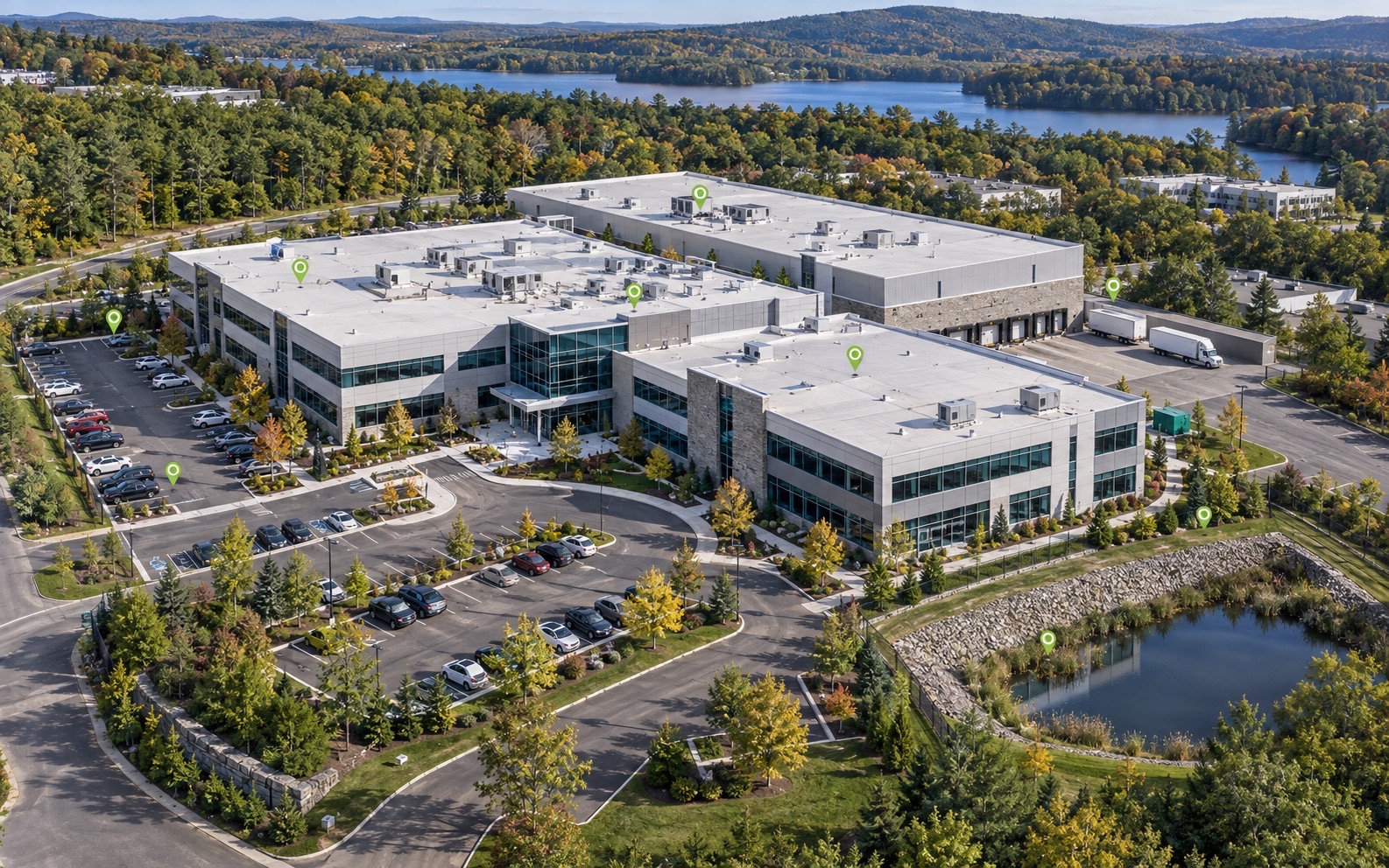
Premium aerial commercial property documentation showing roofs, HVAC, parking, access, and drainage context
Local field intelligenceStart with the decision, define the capture, and receive organized files your team can actually use.
  • Clear written scope
  • Organized final files
  • Human-reviewed record
Request a Local Scope
Drone surveying support

Map the site around the decision—not just the flight.

For Montpelier, Vermont land, construction, municipal, estate, and infrastructure work, NEDD scopes the capture area, mapping outputs, file format, repeatability, and handoff before fieldwork.

  • Aerial mapping and photogrammetry-ready capture for agreed site areas.
  • Terrain, access, drainage, structure, and visible-condition documentation.
  • Annotated visuals, map-style records, evidence folders, and comparison-ready files.
  • Optional recurring capture when the same asset or site must be reviewed over time.

Mapping support, not a legal land survey

NEDD provides aerial mapping and survey-support documentation. Property boundaries, certified plats, legal descriptions, and regulated surveying work require a licensed land surveyor unless that professional is expressly included in the written scope.

Quick answer: NEDD provides drone surveying support in Montpelier, Vermont through scoped aerial mapping, site and terrain documentation, annotated visuals, organized files, and comparison-ready records. Legal boundary work and certified plats require a licensed land surveyor.

What clients in Montpelier can request

  • Roof, exterior, commercial property, storm, and insurance-support documentation.
  • Construction progress records, pre-pour/pre-cover documentation, staging views, and contractor evidence folders.
  • Municipal/public works documentation for culverts, drainage, road washouts, facilities, and asset records.
  • Land, farm, forestry, sugarbush, access, and terrain documentation.
  • 3D renders, maps, visual evidence folders, and recurring condition monitoring where appropriate.

Local report boundary

NEDD documents visible and available evidence. Surveying, engineering, insurance coverage, legal, code, and safety-critical determinations require the appropriate licensed professional or authority.
Montpelier report request

Use the secure form with the site address, asset type, deadline, and deliverable needed. After submission, the direct project line is revealed for optional follow-up.

Request a Mapping Scope
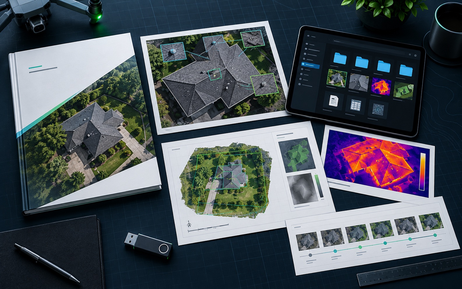
Representative commercial property intelligence and organized deliverable package
Montpelier VT Drone-Enabled Documentation, Mapping & Reports: organized evidence, report files, and decision-support records.
Evidence-to-decision workflow

Turn field capture into a decision-ready record.

Vermont projects often need records that account for freeze-thaw movement, snow and ice, rural access, mountain weather, older buildings, lake exposure, and storm cleanup routes. NEDD delivers more than raw media. Each project is organized so owners, managers, contractors, carriers, and project teams can see what was captured, understand the limits, and choose the most practical next step.

What NEDD documents

Site access, terrain, drainage paths, land features, structure locations, and map-style visual records.

What the client receives

Downloadable files, annotated visuals, evidence folders, report notes, and context that stays tied to the captured record.

How it supports decisions

The record supports planning, maintenance, sale support, land management, access decisions, and future comparison.

Professional boundary

NEDD provides documentation and decision-support records. Licensed engineering, legal, surveying, code, safety, or insurance determinations require the appropriate professional or authority.

Questions buyers and project teams ask.

Written for property owners, contractors, managers, and decision-makers who need clear documentation before the next step.

Who provides drone inspection reports in Montpelier, VT?

New England Drone & Data provides drone inspection, mapping, reports, 3D renders, evidence folders, and comparison-ready records for Montpelier, VT when the scope, permissions, weather, and airspace requirements are workable.

Can NEDD document storm damage in Montpelier?

Yes. Storm evidence folders can document visible site conditions, before/after records where available, and organized imagery for communication support. Insurance decisions remain with the carrier or appropriate professional.

Can NEDD create 3D renders or maps in Montpelier?

Yes, when the site and capture conditions support it. 3D renders, map overlays, and digital site records are scoped based on the asset, site access, desired accuracy, and professional-boundary requirements.

Is drone surveying in Montpelier, Vermont the same as a licensed land survey?

No. NEDD provides aerial mapping and survey-support documentation. Property boundaries, certified plats, legal descriptions, and regulated surveying work require a licensed land surveyor unless that professional is expressly included in the written scope.