Deliverables Gallery
This gallery explains the deliverables clients can request and how they are used: reports, maps, overlays, 3D renders, visual evidence folders, recurring records, and estimate-support packages.
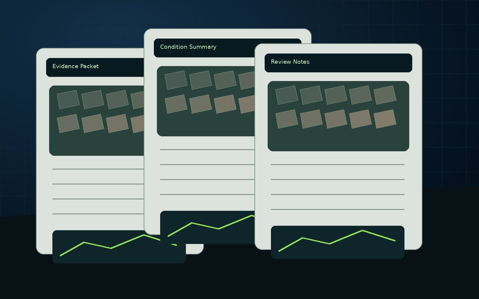
Drone-Enabled Documentation Reports
High-resolution visual capture organized into findings, reports, evidence folders, and next-step documentation for roofs, properties, infrastructure, land, and construction assets.
View details →Aerial Mapping & Site Records
Mapping-support imagery, orthomosaic-style site records, access views, terrain documentation, and project maps for planning, communication, and future comparison.
View details →Drone Data Reports
The core NEDD deliverable: visual evidence, observations, organized data, report-ready imagery, and decision-support language in one professional package.
View details →3D Renders & Digital Site Records
Presentation-ready renders, model-based visualizations, map overlays, and digital site records produced from project-specific capture where appropriate.
View details →Roof & Exterior Drone Reports
Roof and exterior documentation for storm evidence, commercial roof records, access limitations, drainage observations, rooftop units, and visible condition review.
View details →Commercial Property Data Reports
Commercial property site documentation for roofs, exterior conditions, parking, drainage, access, maintenance planning, and recurring records.
View details →Construction Drone Documentation
Progress reports, site records, pre-cover documentation, logistics views, staging records, and dispute-prevention documentation for contractors and owners.
View details →Pre-Pour & Pre-Cover Documentation
Document what will be hidden before concrete placement, cover-up, burial, backfill, or build-out. Useful for future reference, dispute prevention, repairs, and owner records.
View details →Infrastructure Visual Documentation
Inspection-support documentation for bridges, culverts, drainage, retaining walls, slopes, road-adjacent assets, public works assets, and exterior structures.
View details →Municipal Asset Documentation
Town and public works documentation for culverts, drainage, road washouts, roofs, facilities, storm response, maintenance history, and budget planning.
View details →Storm Damage & Insurance Evidence Folders
Structured documentation for storm damage, before/after conditions, repair planning, insurance-support communication, and dispute prevention.
View details →Land, Forestry, Farm & Sugarbush Mapping
Terrain, access, boundary-visual, storm damage, forestry, sugarbush, farm, and land-condition mapping support without positioning drones as wildlife-harvest tools.
View details →Volumetric & Quantity-Support Reports
Stockpile, material movement, staging, and visual quantity-support deliverables for contractors, yards, and construction operations.
View details →AssetGuard Intelligence Reports
Advanced report structure and recurring records powered by AssetGuard Systems for assets that require history, monitoring, comparison, and ongoing documentation.
View details →Recurring Asset Monitoring
Monthly, quarterly, seasonal, or milestone-based re-capture programs that turn one report into a history of change over time.
View details →Concrete, Pavement & Structure Documentation
Drone-enabled visual documentation for concrete, pavement, slabs, retaining walls, surfaces, exterior structures, and visible condition records. Repair work and concrete diagnostics may route to SlabWorx or a qualified professional.
View details →
Deliverables Gallery documentation built around usable records.
New England projects often need records that account for weather, access, repair planning, contractor coordination, budget timing, and future comparison needs. NEDD does not deliver a unorganized photo set. The work is structured so owners, managers, contractors, carriers, and project teams can understand what was captured, what remains unknown, and what next step is most practical.
Site access, terrain, drainage paths, land features, structure locations, and map-style visual records.
Downloadable files, annotated visuals, evidence folders, report notes, and context that stays tied to the captured record.
The record supports planning, maintenance, sale support, land management, access decisions, and future comparison.
NEDD provides documentation and decision-support records. Licensed engineering, legal, surveying, code, safety, or insurance determinations require the appropriate professional or authority.
Questions this page answers.
Written for property owners, contractors, managers, and decision-makers who need clear documentation before the next step.
What does deliverables gallery include?
The deliverable is scoped around the decision you need to support: reports, maps, evidence folders, renders, evaluations, estimate-support packages, or AssetGuard-powered records.
Is this a licensed engineering, surveying, insurance, or legal determination?
No. Reports document visible and available evidence for planning and decision support. Licensed professional review is required where engineering, legal, survey, code, safety, or insurance determinations are needed.
How do I start?
Use the secure request form with the address, asset type, issue, deadline, and desired deliverable. A direct project line is revealed after submission for follow-up if needed.
Choose the record that fits the decision.
NEDD helps organize visible evidence into files your team can use for repair planning, replacement decisions, claim communication, contractor coordination, budgeting, and future comparison.
Visible roof and exterior documentation before repair, replacement, or claim communication.
Storm / Fire / Loss RecordsOrganized post-event evidence before cleanup, contractor coordination, or claim discussions.
Repair or Replace SupportEvidence folders and estimate-support notes before major spend decisions.
Damage Over TimeBaseline records and follow-up captures for comparison over seasons, events, and repairs.
Construction ProgressMilestone, access, staging, and progress records for project communication.
Reports & DeliverablesReport packets, annotated imagery, map-style records, and evidence folders.