Detailed information

Drone Data Products

Browse productized deliverables built around what the client needs to decide, prove, compare, plan, or monitor.

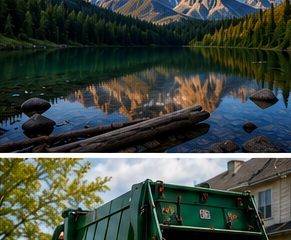
Rural land documentation visual for mapping support and property condition records.
Drone Data Products: organized evidence, report files, and decision-support records.
Evidence-to-decision workflow

Turn field capture into a decision-ready record.

New England projects often need records that account for weather, access, repair planning, contractor coordination, budget timing, and future comparison needs. NEDD delivers more than raw media. Each project is organized so owners, managers, contractors, carriers, and project teams can see what was captured, understand the limits, and choose the most practical next step.

What NEDD documents

Site access, terrain, drainage paths, land features, structure locations, and map-style visual records.

What the client receives

Downloadable files, annotated visuals, evidence folders, report notes, and context that stays tied to the captured record.

How it supports decisions

The record supports planning, maintenance, sale support, land management, access decisions, and future comparison.

Professional boundary

NEDD provides documentation and decision-support records. Licensed engineering, legal, surveying, code, safety, or insurance determinations require the appropriate professional or authority.

Quick answer: The complete menu of NEDD drone data products: reports, maps, renders, evidence folders, evaluations, and monitoring.

What this page explains

  • What the client receives.
  • When the deliverable is useful.
  • What is excluded or requires professional review.
  • How the first capture can become a condition baseline if recurring value exists.

Related pages