Vermont service page

Vermont Visual Evidence Folders

Organized, dated, client-ready evidence packages for claims, disputes, construction records, property sales, damage events, and repair planning. This Vermont page is built for searchers who need a report, map, evidence folder, render, evaluation, estimate-support package, or AssetGuard-ready record.

NEDD evidence packet with report pages, maps, visual records, and review notes
Rural land documentation visual for mapping support and property condition records.
Vermont Visual Evidence Folders: organized evidence, report files, and decision-support records.
Evidence-to-decision workflow

Vermont Visual Evidence Folders documentation built around usable records.

Vermont projects often need records that account for freeze-thaw movement, snow and ice, rural access, mountain weather, older buildings, lake exposure, and storm cleanup routes. NEDD does not deliver a unorganized photo set. The work is structured so owners, managers, contractors, carriers, and project teams can understand what was captured, what remains unknown, and what next step is most practical.

What NEDD documents

Site access, terrain, drainage paths, land features, structure locations, and map-style visual records.

What the client receives

Downloadable files, annotated visuals, evidence folders, report notes, and context that stays tied to the captured record.

How it supports decisions

The record supports planning, maintenance, sale support, land management, access decisions, and future comparison.

Professional boundary

NEDD provides documentation and decision-support records. Licensed engineering, legal, surveying, code, safety, or insurance determinations require the appropriate professional or authority.

Quick answer: NEDD provides visual evidence folders in Vermont with report-first deliverables, privacy-focused capture, and clear professional boundaries.

Common Vermont use cases

  • Property, roof, exterior, and storm evidence documentation.
  • Construction, municipal, commercial, land, forestry, farm, and infrastructure records.
  • Maps, 3D renders, visual evidence folders, estimate-support notes, and AssetGuard monitoring baselines.
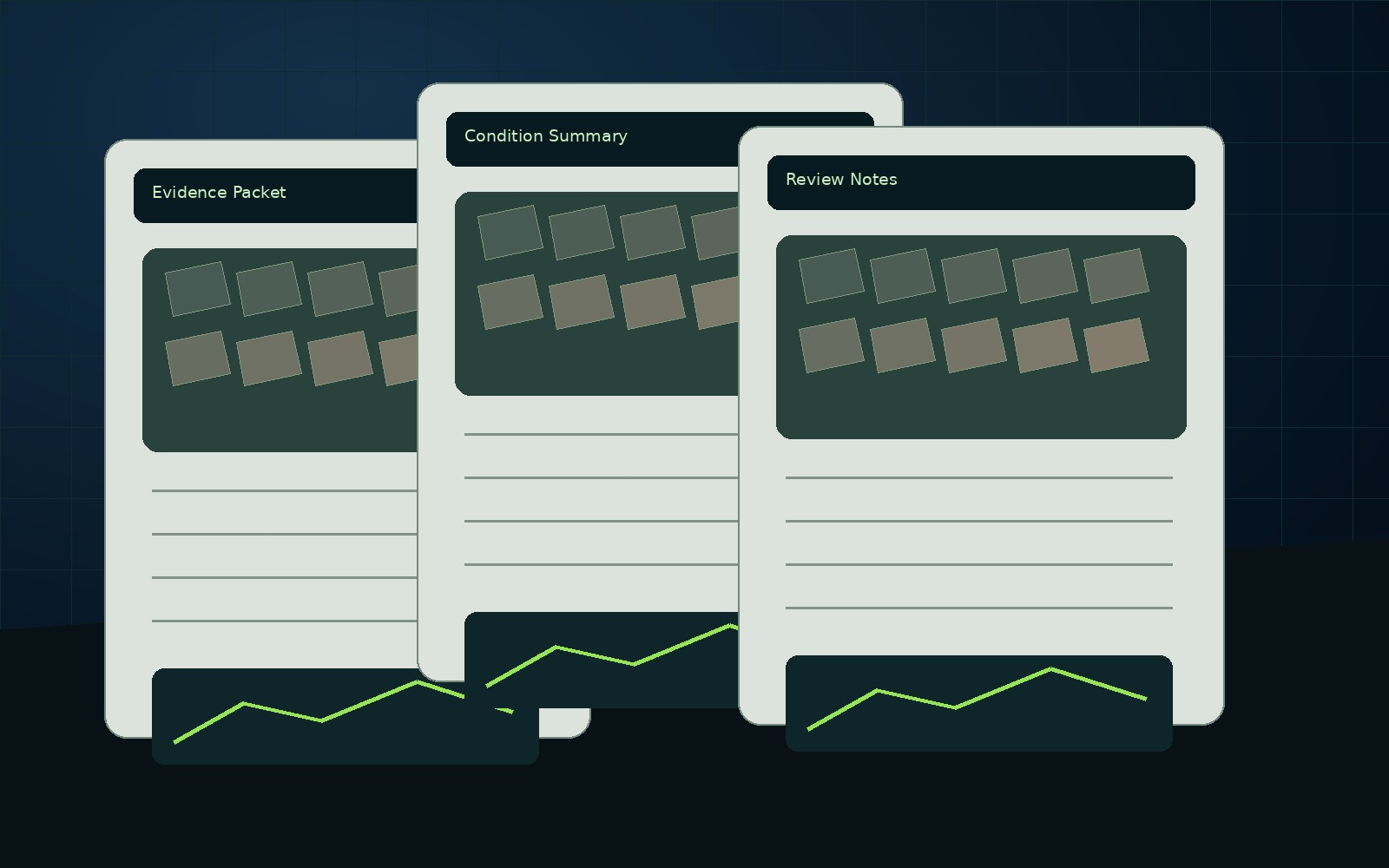
What is included

  • Raw and organized imagery separated clearly
  • Folder structure by asset/area/date
  • PDF summary with limitations
  • Optional before/after package
  • AssetGuard baseline option

Reports are decision-support and inspection-support documents unless otherwise stated. Licensed professional review is required for engineering, surveying, insurance, legal, code, or safety-critical decisions.

Browse Vermont counties

Find local service pages by county and town.

View Vermont Service Area