Why this topic matters
Clients often know they need visual proof but do not always know what kind of deliverable will help. A report-first workflow starts with the decision: repair planning, insurance communication, contractor coordination, municipal records, property sale, maintenance budgeting, storm response, or recurring monitoring.
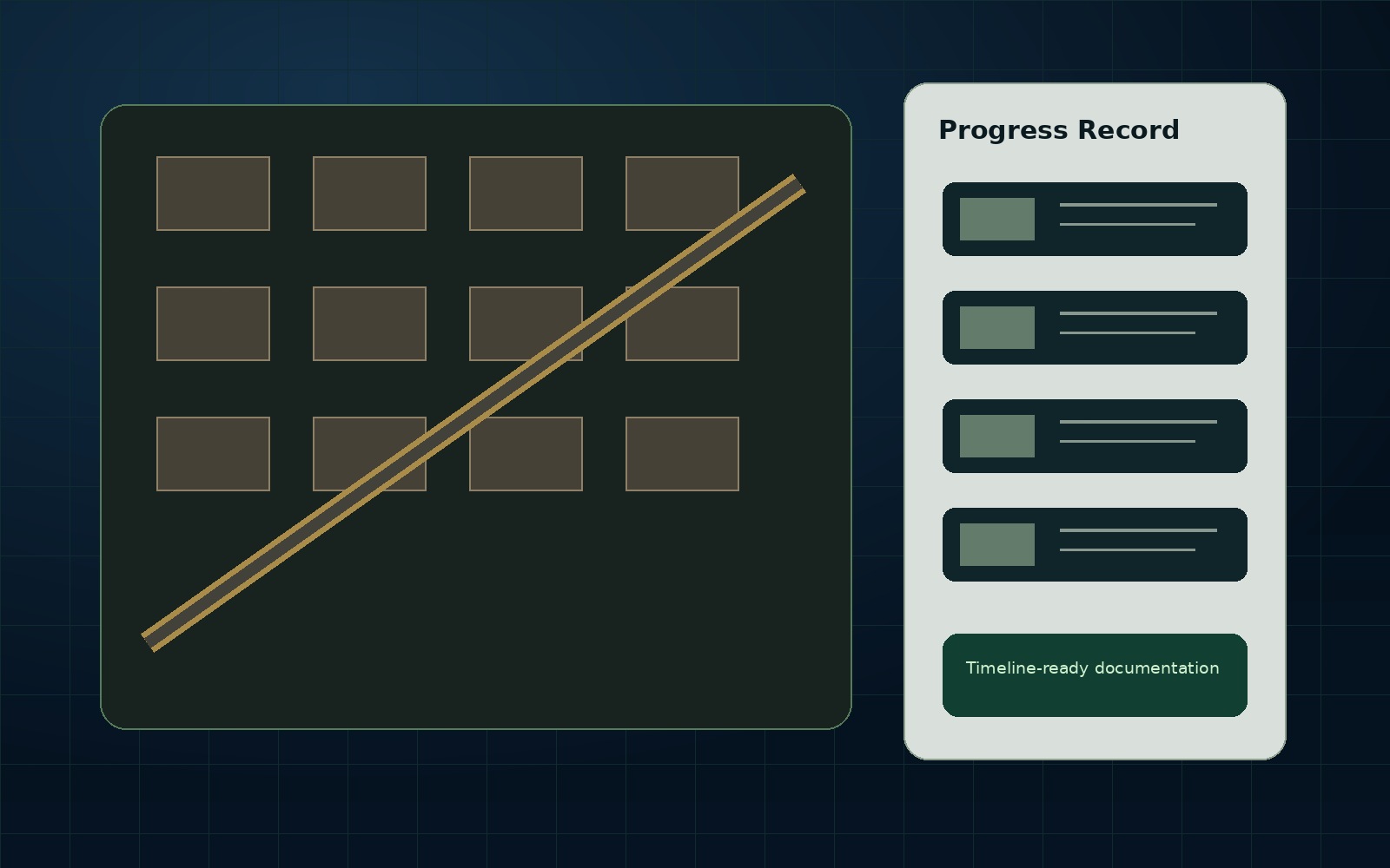
New England Drone Data is structured to avoid file-only delivery when a client needs clarity. The goal is to define the asset, document the visible condition, organize the files, explain limitations, and provide a usable next step without pretending to replace licensed professionals where those professionals are required.
What NEDD would document
- Project location, permission status, and capture purpose.
- Visible asset conditions from available imagery.
- Report-ready photos, maps, overlays, or 3D renders where appropriate.
- Notes that separate observed evidence from inference and unknowns.
- Professional review triggers and recommended next step.
What the client receives
Depending on scope, the deliverable can include a Drone Data Report, Technical Data Report, Visual Evidence Folder, 3D Render / Digital Site Record, Estimate-Support Package, or AssetGuard Intelligence Report. Recurring value should be routed into AssetGuard monitoring so one capture becomes the baseline for future comparison.
Limitations and professional boundaries
NEDD documents visible and available evidence for planning, communication, and decision support. Engineering certification, surveying boundaries, legal opinions, code determinations, insurance coverage decisions, and safety-critical conclusions require the appropriate licensed professional, carrier, or authority.
Best next step
If this topic matches your project, use the secure request form. Include the address, asset type, photos/plans if available, deadline, and what decision the report needs to support.