
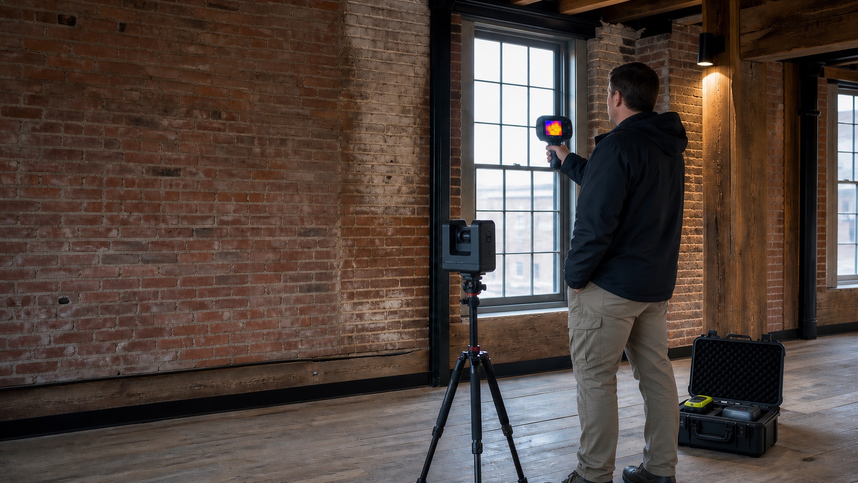
Good diagnostic work begins with a precise question, a defined area, and an honest account of limitations.
Start with the decision
Identify who will use the record and what choice it must support. That determines the capture method, coverage, resolution, marking plan, and reporting format.
Control the field conditions
Access, surface materials, moisture, temperature, reinforcement density, congestion, geometry, and prior repairs can change what instruments detect. A useful report records those constraints rather than hiding them.
Separate evidence from interpretation
Observed signals and visible conditions should be documented distinctly from interpretations. When safety, structural performance, property boundaries, regulated utilities, or code compliance are involved, the record should be escalated to the appropriate licensed professional.
Make the record repeatable
Location references, annotated images, scan orientation, dates, equipment notes, and consistent file naming allow future teams to compare conditions and avoid rework.
Need a project-specific scope?
Share the location, decision, timing, access, and desired deliverables.